 |
Day 8:
Personal sunrise 8:50 am
Personal sunset 4:55 pm
Camped that night atop the Tapeats, we could see that we were entering a new region of the canyon, guarded by new temples, with names like King Arthur Castle, Lancelot Point, and Excalibur. From our camp site we couldn't see those - they were tucked deeper into the Shimuno Ampitheater, a region of the canyon bearing names from the King Arthur legend. But we could see Holy Grail Temple, standing proudly perched atop a ridge across the creek. I tried a star trails shot, hoping I could catch Orion rising above the temple. Turns out I was off by a few degrees. Guess I should carry a compass and learn to read star charts?
 |
| Holy grail is in the center, but can you spot Orion? |
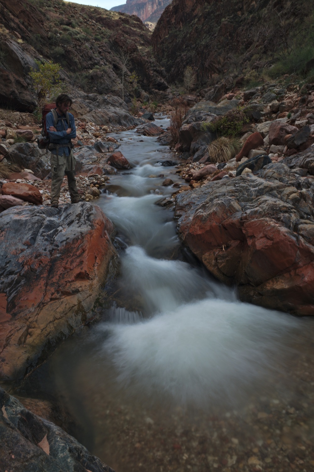
In addition to our fatigue, there was a further consideration - the ball of my foot had started to hurt, and it felt internal. Most likely a bruise or a stress fracture. I'd had this happen before, when I was working building backcountry fences for a conservation corps. Back then the cause was just walking too much, too fast, too aggressively, with too much weight. Just overdoing it in general. The solution was to stop carrying a bag of concrete into work with me every day, and be more careful about how I stepped. In this case, the cause and solution were much the same - I dropped the bag of concrete I'd been carrying since Hack Canyon, used my trekking poles more, and started to take it a little easier.
| Shimuno Creek |
We returned to our packs and headed up Shimuno Creek to the confluence with Flint Creek. Shimuno is fed by a spring far upstream in a tributary called Modred Abyss. Much like Thunder River, an entire stream emits from a cave in the limestone. I've never been there, but I'll have to come back when the weather is warmer and make the trip up there - I hear it's quite wet getting up to the cave.
 |
| Are you tired of long-exposure water shots? So is Craig! |
Day 9:
Personal sunrise 10:34 am
Personal sunset 4:55 pm
Today we were to tackle one of the big unknowns of the trip - how to get through the Redwall in Flint Creek? For those unfamiliar with the Canyon, the Redwall is notorious for being one of the most difficult layers to find your way through. In most of the canyon, it forms an impenetrable barrier of cliffs, and breaks in those cliffs are few and far between. George Steck had this to say about getting through the Redwall in Flint:
It is tempting to try to continue up Flint to the saddle, and I have done so, but getting out involves so much brush and complicated bypasses, that I think the way I will describe is easier. After you leave the Flint drainage, climb up along a ridge and through some small Muav cliffs to the base of the Redwall. The upper wall meets the lower at the far right hand side of the bay, where a scary 30-foot climb takes you to the bottom of the bay.
We were turned away from the scary climbs (well, they sounded like fun to me; Craig has a different exposure tolerance). So we decided to try going up Flint, with its unknown number of complicated bypasses, and unknown brush. But hey, we just walked two days through manzanita; how bad could it be?
We headed up Flint and quickly encountered cottonwoods. Some were standing, but many had fallen and we had to climb over (or under) them. But still, not bad for brush. Then the cottonwoods cleared out and the creek turned into a little slot with waterfalls in the Muav Limestone. It was a really pretty section and there's no need to bypass it if you're willing to do a bit of fun and easy climbing.
 |
| Easy scrambling up a series of little waterfalls in the Muav |
 |
| The redwall pouroff. Our ledge is the one in the upper right. Not the one that looks like it could lead down to the top of the pouroff, but the one that leads around the corner and out of sight. |
 |
| On our ledge! Not the "spicy, skinny section". |
 |
| Our sidewalk through the sky. |
After that the routefinding was easy and straightforward, with one section of 3rd class choss near the top of the Redwall. I was most of the way up it when Craig asked "Nick, am I good to start climbing?". I thought about it, said "maybe wait a couple seconds", and without warning the rock beneath my right foot gave way. Several very large rocks came crashing down at high speed, whizzing through the air next to Craig (who was protected just around the corner). Scary. I finished my climb, gave Craig the ok, and we were on top of the Redwall!
Despite the scary ending, this was my favorite Redwall break that I've done in the canyon. There were no cairns, no footprints, no signs of human passage at all. Just us finding our way through to the best of our ability. I also love airy routes, and this was certainly that - walking a ledge with a cliff above and a cliff below, without knowing if the ledge would continue for us, was awesome. And the fact that the route we found was probably better than either of Steck's, and as far as we know unpublished until now, made it even cooler.
 |
| Easy going the rest of the way to the saddle. |
Once atop the Redwall, it didn't take long to contour along and get to the Flint/Tuna Saddle. We dropped our packs and headed off on another mission - to retrieve the second cache. When I hiked down in October, I ran out of time and had to leave the cache at the base of the Coconino, so we had a walk of nearly an hour to get there. Oh, well. It was a nice hike, and beers on top of the saddle tasted wonderful. We set the tent up with the door rigged open, to act as a windblock.
 |
| My mid set up as a windblock. I love this tent, it's very versatile. Also, Craig is modeling the insulated balaclava that I made just before this trip. |
This was the last of our scenic divides; from here, it would be one long day down to Crystal Rapid, and from there we would travel mostly on the Tonto platform over to Phantom Ranch. Craig and I had done that section in the past, so we were nearly done with all the unknown. Just one more break in the Redwall down to Tuna awaited us. 26 miles to Christmas!
To read the fourth and final part of the trip report, click here.
To read the fourth and final part of the trip report, click here.
2 comments:
Nick - please add some larger maps. Or, links to larger maps with your route drawn on the maps. See some of my maps if you need ideas - which you probably do not. Thanks for the trip report.
Great trip! Thanks for sharing.
@ Rob- Just open the map in a new tab and click zoom. Big enough, I'd say. Cheers.
Post a Comment